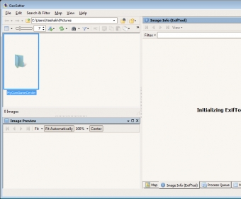
GeoSetter can be used to view and edit geo data and other information (IPTC/XMP/Exif) of image files. It supports JPEG and TIFF as well as camera RAW formats including DNG (Adobe), CRW, CR2, and THM (Canon), NEF and NRW (Nikon), and MRW (Konica Minolta).
GeoSetter makes use of the ExifTool by Phil Harvey for writing data to files. With embedded Google Maps, it can show existing geo coordinates, image directions, and tracks.

See and change the metadata information of your pictures or photos with ease.


Comments (4)