Displays and alters geo data and other metadata, including IPTC, XMP, and Exif stored in photo files. Shows the existing geo coordinates on the embedded Google Maps map. Syncs with track files, exports Google Earth data, fills location IPTC fields and altitude values automatically. Supports JPEG, TIFF and RAW formats, including DNG, CRW, CR2. THM, NEF, NRW, MRW, PEF, ORF, ARW, SR2, SRF, RAF, RW2, RAW, RWL.
Nowadays, image geotagging got quite popular, as more and more people started using the modern, sophisticated yet affordable digital cameras. GeoSetter is not just a geotagging application; it is actually one of the most comprehensive programs of its kind. To my appreciation, even though it comes packed with a lot of features and functions, it is provided for free.
One of its most remarkable features is, in my opinion, the fact that it lets you manually geotag images of various types, from raster ones such as JPEG and TIFF, to RAW images. Different types of maps can be displayed and used for this purpose, including Google Street Map, Google Satellite Map, Google Hybrid Map, and so on. If you own a GPS device you can quickly synchronize the recorded track files with your images.
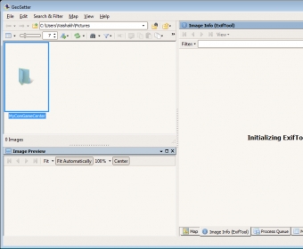
Furthermore, I appreciate its neat and self-explanatory interface. GeoSetter also comes with a comprehensive “help” system that explains in a clear and thorough manner every aspect of this application. The only downside that I could notice at this application is that it hung and froze quite a lot while I've used it, often enough to make me mention it here.
Nevertheless, GeoSetter gets my vote of confidence, as it offers for free what other applications offer for quite a lot of money.

Comments (4)